If you’re a typical Arizonan, you’ve probably heard about land subsidence or perhaps even witnessed its effects firsthand driving along the I-10 corridor between Tucson and Phoenix.
What is land subsidence and where does it occur?
Land subsidence results from the compaction, consolidation, or collapse of aquifer sediments and occurs throughout southern Arizona, in rural and urban areas alike. It’s an unfortunate and unintended consequence of pumping more than 40 percent of our water supply from aquifers, which has resulted in excessive water level drawdown in some areas.
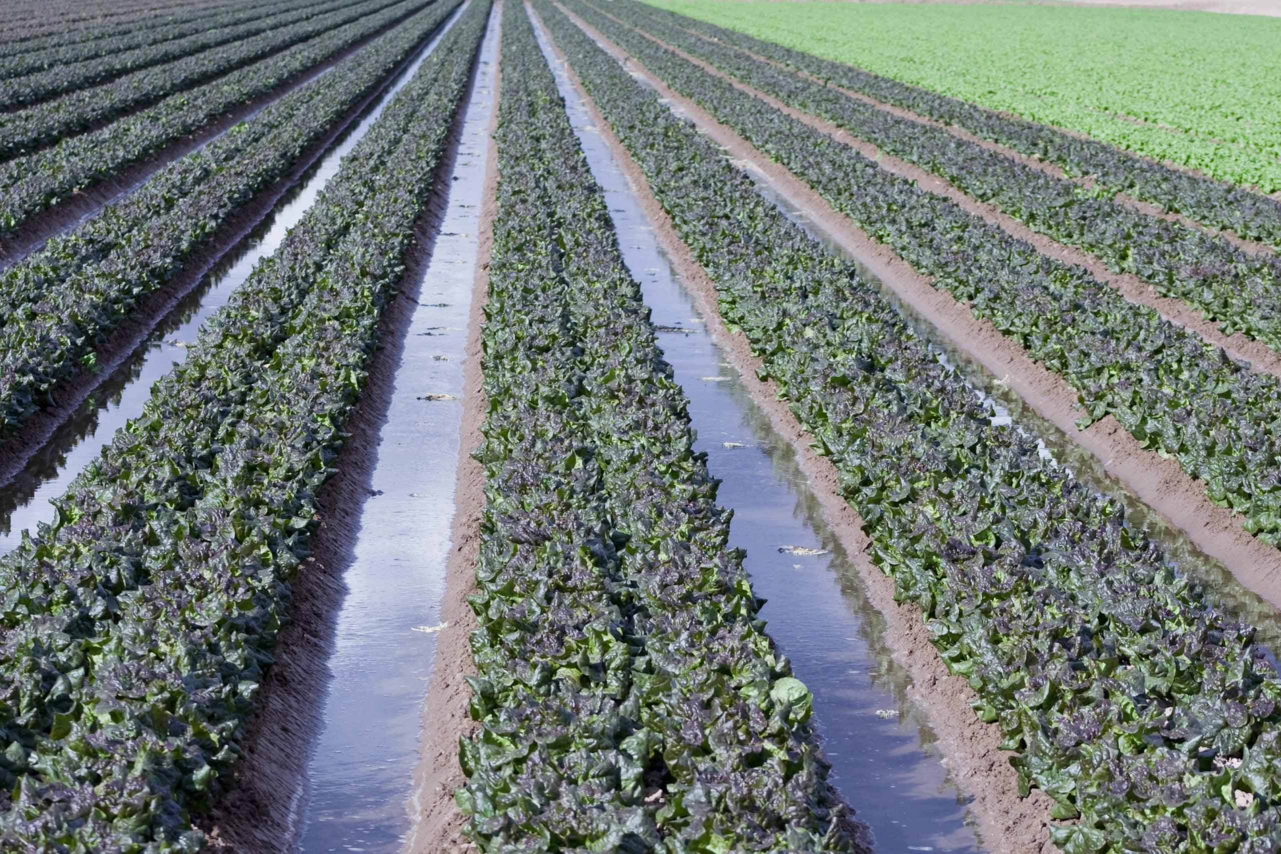
Land subsidence was first documented in Arizona in the 1940s, after groundwater pumping — mostly for agriculture — became widespread. Today, studies have identified 25 distinct subsidence areas and 1,200 square miles that have been impacted in Arizona. In some areas, up to 20 feet of subsidence has been measured, mainly using remote sensing tools.
In California, where extended drought conditions have led to an increased reliance on groundwater, subsidence is very much a part of the public conversation. This is particularly true in basins designated as medium- or high-priority areas with respect to the recently adopted California Sustainable Groundwater Management Act. In the San Joaquin Valley, where historically up to 29 feet of land subsidence was reported as a result of agricultural pumping, a California Department of Water Resources commissioned study used satellite data to show that subsidence is currently occurring at rates of up to 2 inches per month in some areas of the state.
Why does subsidence occur?
To understand the physics of land subsidence, we need to look at southern Arizona’s aquifers, which consist mainly of unconsolidated sediments. Water is stored under pressure in the pore spaces between sediment grains. Pumping reduces this fluid pressure, effectively increasing stress on the aquifer system’s “skeleton,” causing compaction or consolidation. When pumping continues over long enough periods, the aquifer’s structure can collapse and consolidation may be irreversible, resulting in a permanent reduction in the aquifer’s storage capacity. This effect is more prevalent and dramatic in aquifers that feature fine-grained layers.
Earth fissures are a related phenomenon. Caused by differential settling (often near basin margins, where bedrock is shallow), earth fissures can be miles long, over 10 feet wide, and hundreds of feet deep. They can appear suddenly and open up during rainstorms. The Picacho Basin is home to about two-thirds of the mapped fissures in Arizona. The CAP canal in this area is constructed on bedrock to avoid basin fissures.
Why should we be concerned about land subsidence?
In addition to the loss of aquifer storage, land subsidence and earth fissures can wreak havoc on our infrastructure — both at the surface (buildings, roads, bridges, pipelines, canals, and recharge and wastewater basins) and the subsurface (pipelines, foundations, and underground tanks). Furthermore, fissures can provide avenues for contaminants to enter aquifers.
Unfortunately, several factors are conspiring to increase land subsidence and earth fissures in the future: drought, climate change, and a growing population that depends on groundwater. With a reduction in available Colorado River supplies anticipated, additional pumping and associated subsidence impacts seem inevitable.
What can we do about land subsidence?
Knowledge is power. Although we can’t undo the damage caused by subsidence, we can implement various strategies to mitigate its occurrence. Fortunately, not all basins are created equal; some have a greater potential for subsidence than others. We can minimize land subsidence by explicitly considering subsurface conditions and subsidence risk factors when locating and designing new wells, or when developing pumping strategies for existing and new well fields. We can also implement programs to identify signs of existing subsidence, monitor changes over time, and adopt pumping plans that reduce future impacts.